Advanced Inspection Techniques
In today’s competitive environment, Oil & Gas operators must optimise production by limiting facility downtime.
The key to reducing downtime and achieving greater reliability is adopting new and advanced inspection techniques.
In recent years, a number of tools have emerged and menapetro is constantly seeking for new available technologies in order to maximise the effectiveness of each of the scheduled inspection activities. Some of the techniques currently used on board installation include the following:Structural and Flare tip inspections using Remotely Operated Aerial Vehicles (ROAVs)
Carrying out flare tip or platform bridge inspections would normally involve shutting the complex for multiple weeks. The main advantage of ROAVs is its displacement speed and ability to capture large amounts of inspection information quickly. The use of ROAVs is particularly helpful in more harsh or challenging environment.

Corrosion Mapping
Corrosion mapping is a non-intrusive technique which maps equipment wall thickness using ultrasonic technique. Corrosion mapping is widely used in menapetro for the in-service detection and characterization of corrosion in pipes and vessels. Variations in material thickness due to internal corrosion can be identified and graphically portrayed as an image. The data is stored on a computer and may be colour coded to show differences in thickness readings. Corrosion is mapped by using zero degree ultrasonic probes, an Eddy current array and/or Time of flight detection methods.
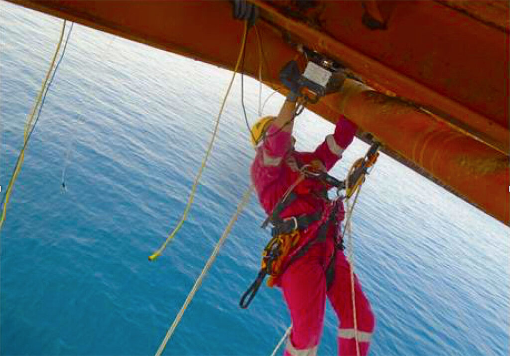
Inspection of piping damage under pipe support locations with limited accessibility using abseiling and advance ultrasonic tools
Rope access is a safe technique that allows trained and certified inspectors to access difficult-to-reach locations without the use of scaffolding and temporary work platform. Combined to advanced inspection techniques such as M-Skip (technique used to inspect components rendered inaccessible due to the presence of obstructions, such as support beams), rope access has the advantage to propose cost and time effective solutions for the inspection of non-accessible equipment.

Remotely Operated Vehicle (ROV)
menapetro was amongst the first in the companies to implement the use of unoccupied underwater Remotely Operated Vehicle (ROV).menapetro uses ROV’s for underwater incidents investigations, visual inspection of pipelines, platform jackets and other subsea marine equipment, with good success and great results. The underwater vehicle reduces divers intervention, which in turns reduces the risks associated with diving operations, while an ROV can be lost or damaged in extreme situations, loss of life is not a factor.
ROV’s are very efficient, more productive and cost effective solution to diving as it offers unlimited working time, and eliminates lost time required for diver decompression.

ROV’s can spend unlimited time at depth and can adhere to harsh weather conditions, however, the system is not intended to be a replacement for hydrographic diver investigations, but could serve as a substitute when diver safety is in question, or when divers are otherwise not available. The submersible vehicle are equipped with lights, high resolution cameras, high resolution imaging sonar and manipulator arms which execute light duty.
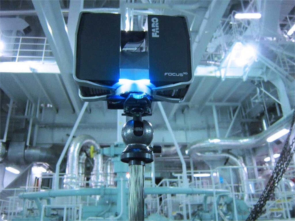
Laser surveying to building 3D models
Generating as-built 3D models and Computer-Aided Design (CAD) plans based on laser surveying.

Advanced Design Engineering
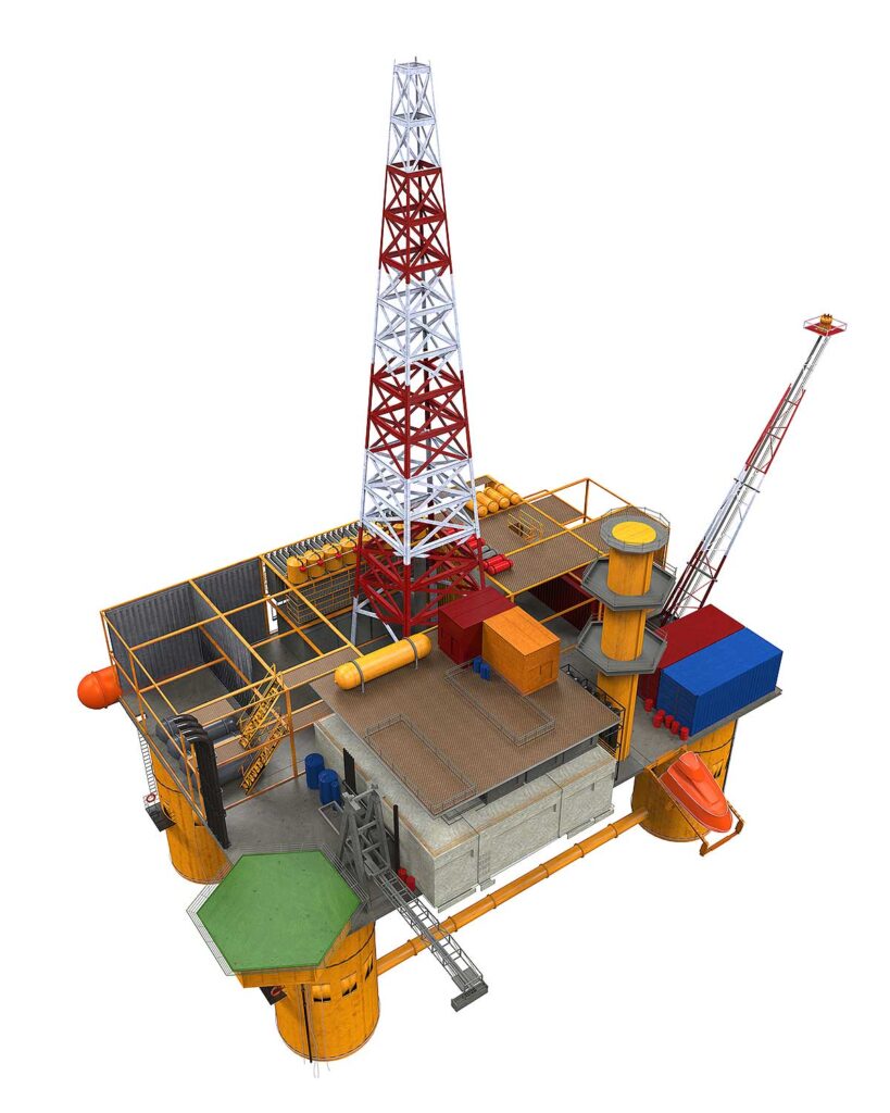
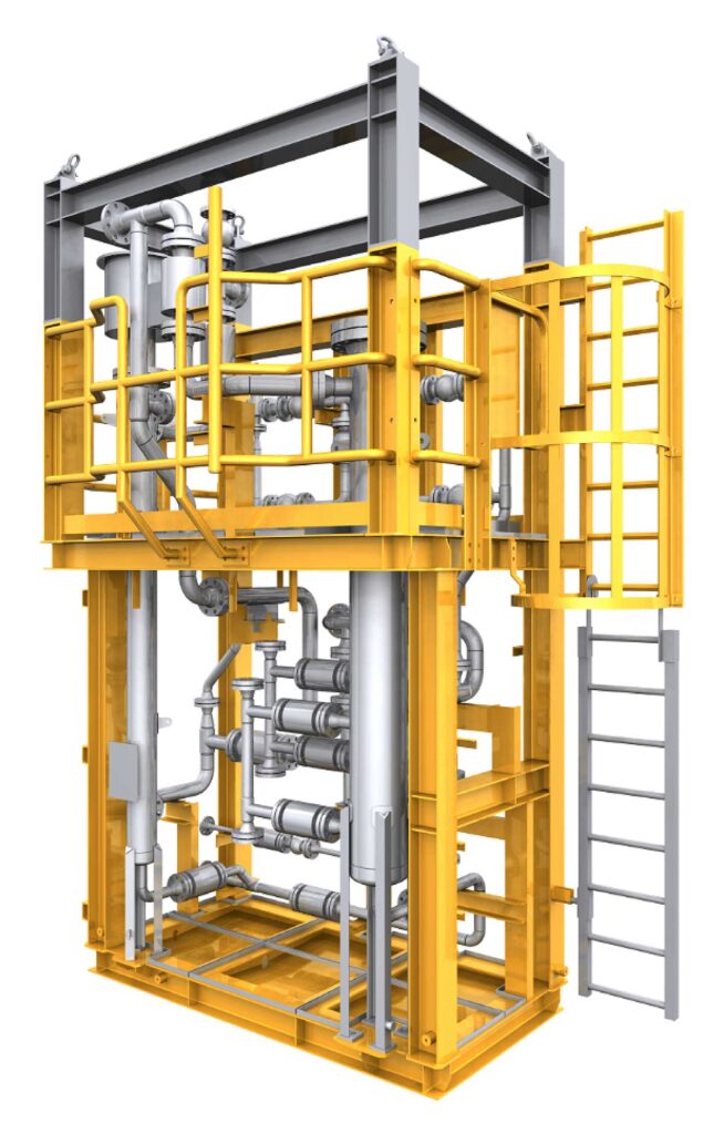
Using 3D Modelling Tools
Plugging of subsea pipe inside a confined space 50 meters below water.
Using Laser scanning engineering
The majority of menapetro projects are executed on existing facilities in an offshore brownfield environment whereby the retrieval of precise as-built existing information is vital.
3D laser scanning services have rapidly become an invaluable means of capturing detailed and accurate 3D representations of the existing physical brownfield environment.
The scanning process is rapid, safe and non-invasive, making it ideal for surveying hazardous, challenging or even restricted areas commonly found offshore. The collected data is of exceptional quality and can be used in its raw format, developed into a highly intuitive photorealistic image or, with advances in 3D design software, can be converted into both intelligent or non-intelligent AutoCAD 3D Models.

The scan data provides the design team with detailed accurate as-built knowledge of the site, therefore removing the risk of error resulting from manual measurement and enabling the designer to progress with the proposed design rather than spending time on site gathering necessary information. The byproduct of laser scanning delivers significant benefits which include, increased data collection efficiency and accuracy, rapid and accurate development of the proposed design, cost and schedule reduction, improved planning and project visualization, and risk mitigation.
Throughout the design, engineering and construction phases, the 3D model derived from the laser scan data has proven an instrumental tool in the success of delivering some of menapetro key projects.

